Planning
Capel offers routes South to the Molewyns, West to the Glydders, and North to the Carneddau. In order to take you some distance into the hills, the route needed to be linear, and the regular (for rural Wales) bus service made Bethesda the obvious destination. I chose the Carnedds because there is more flexibility of routes, and that ridge, especially east from Llewellyn is spectacular and I thought fewer of you would be familiar with it. Also, the shelter on Foel Grach would make a good rest place. I also looked at the Dulyn Bothy, which is a lot more comfortable, but it made the route too long. Certainly a place for a future club trip.
I recce’d the area 2 weeks beforehand. Planning on a map is one thing, but there’s no substitute for going there. A very rainy November made river crossings difficult, and one of the bridges on the map is long gone, so minor adjustments were needed.
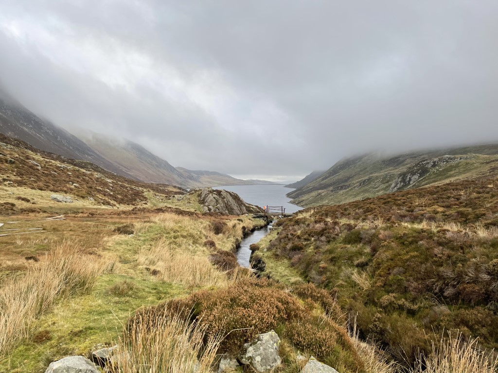
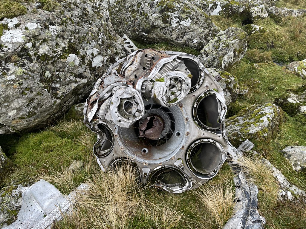
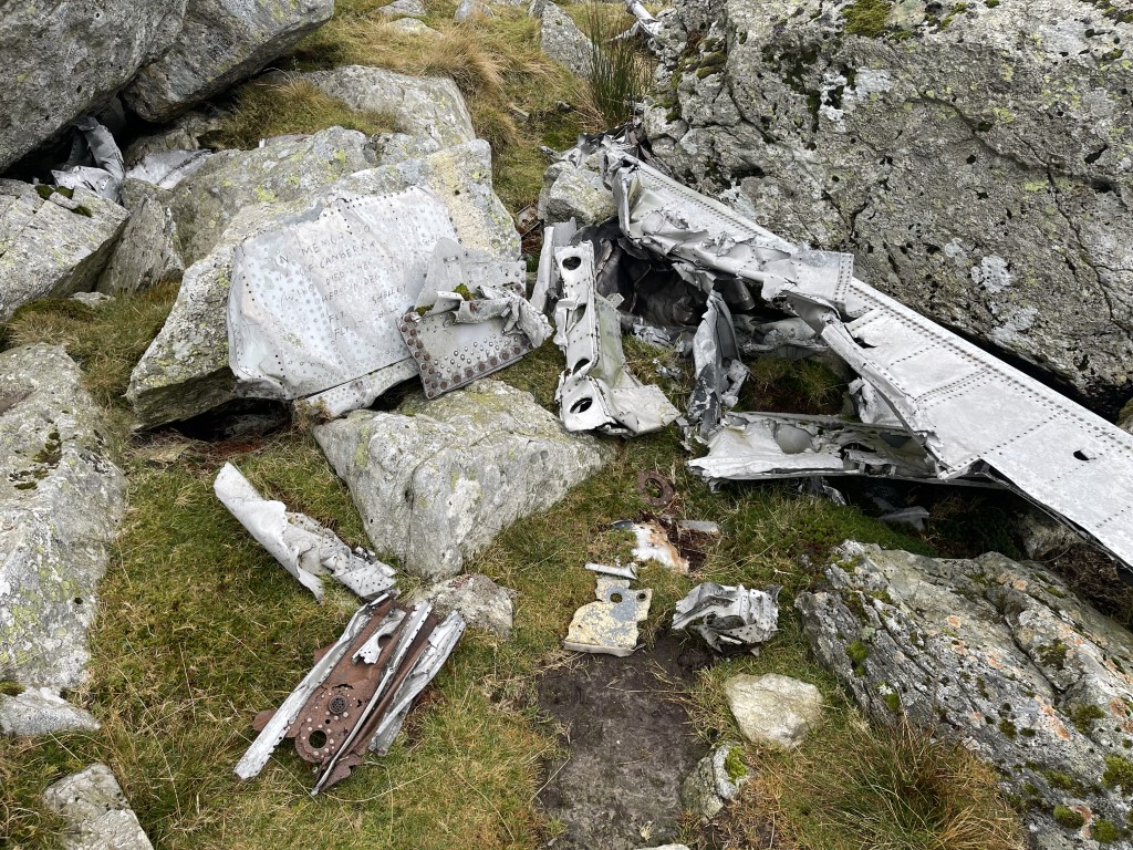
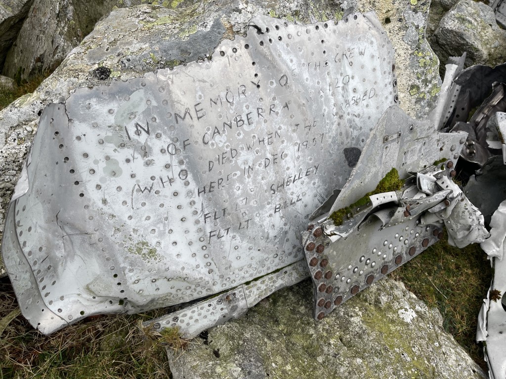
There’s always risk in a linear route, especially across a high ridge, which is why there were few checkpoints at the start, in the hope you would get to Foel Grach quickly. I couldn’t resist including Ffynnon Llyffant though. The club ran a wilderness camp here a couple of years ago, and the aircraft wreckage adds interest. I’m still amazed the plane was travelling south and hit the ridge between Carnedd Llewelyn and Foel Grach and bounced over somehow.
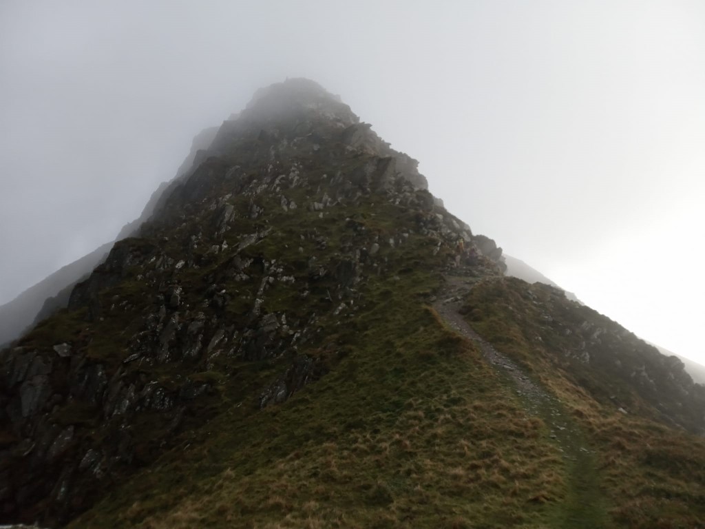
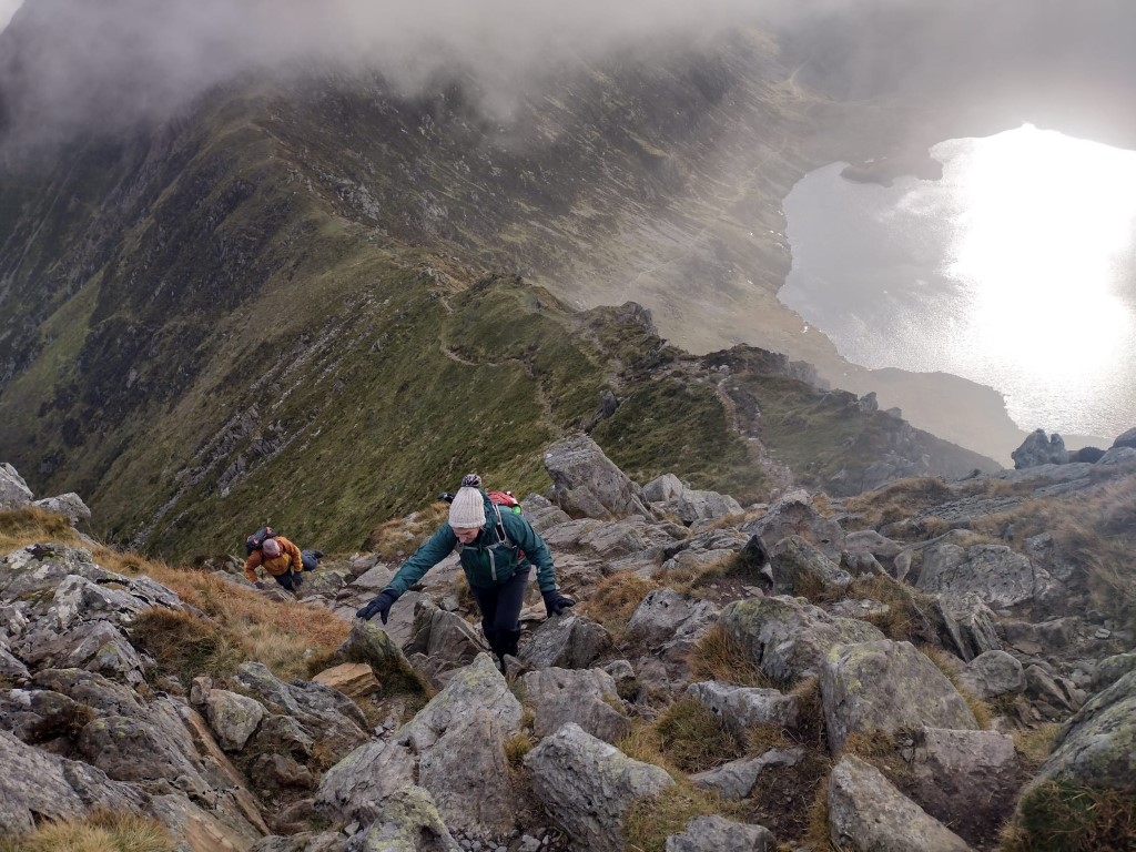
As you can see from the GPX of setting the course, we went to the lake without going to the summit of Carnedd Llewelyn. The only other people to reach that checkpoint on the day were Andy and Pete, who rightly took the safer option of coming over Lllewellyn and down the grassy slope north of the lake, rather than picking their way down through the crags.
From Foel Grach, there were a cluster of checkpoints close together. The idea being that you could include whatever suited your energy level without compromising being down before dark. You all made good decisions here, from coming straight down to bagging the lot. Carned Gwellian adds about 1.5km but with very little height gain and on good paths. The fate of this marker remains a mystery, however: Did it blow away? Was it in the wrong place?
The knoll on the end of the ridge adds little to the overall distance, and the terrain is actually very good underfoot, but that was much harder to see that in the conditions.
It was possible to cover much of the course on paths, but I hope most of you found the chance to venture off trail at appropriate moments, and at least figure out where paths not on the map were likely to be.
This area of Wales has been shaped by human activity for Millenia, and I tried to give an insight into this in the “where have you been” sheet. People lived very hard lives in these hills.
The Day Before
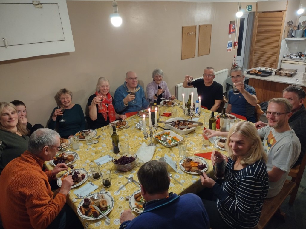
Gary aced the food prep. It was all in a massive plastic chest which we kept outside. This dramatically reduced the effort on the day.
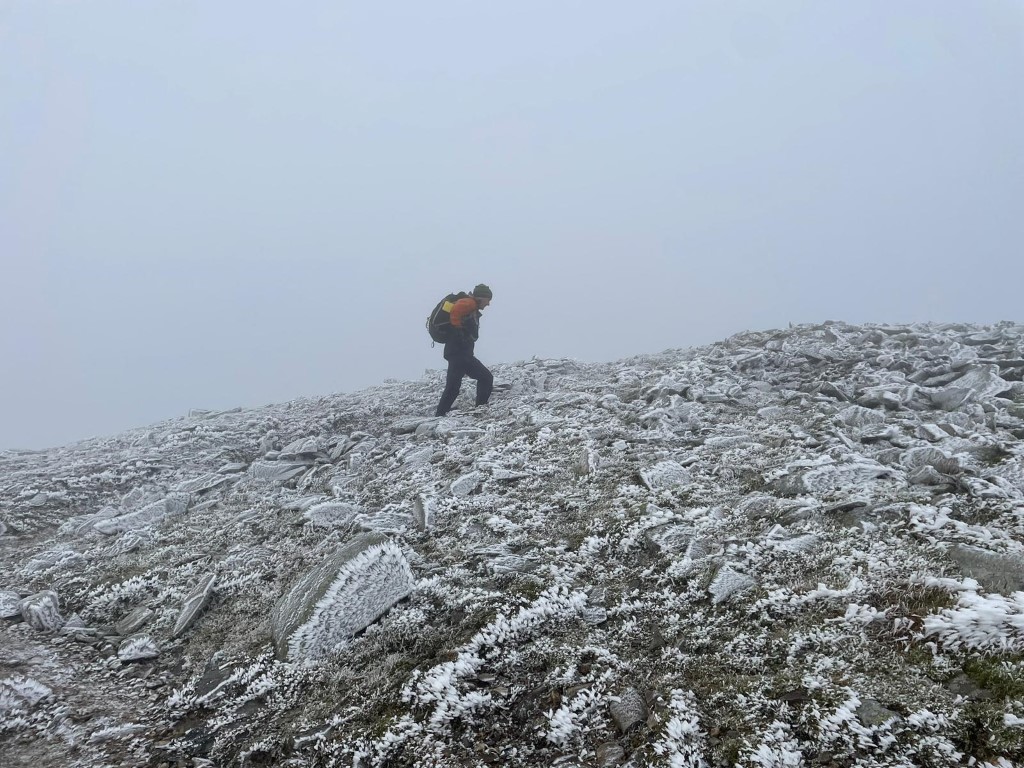
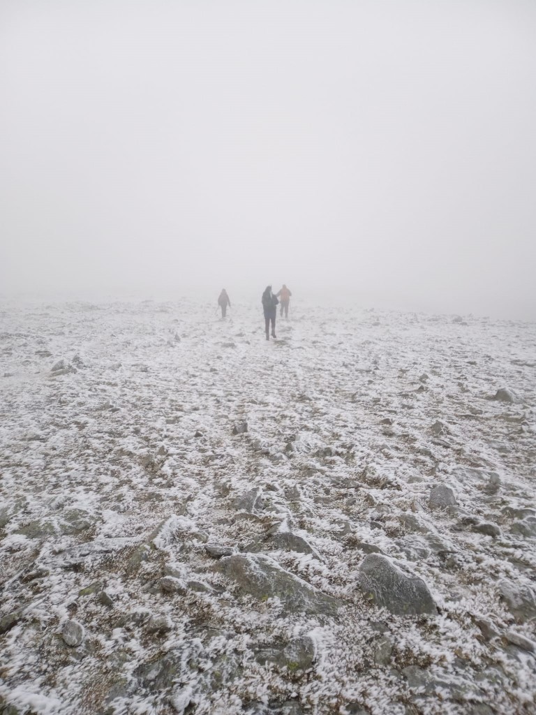
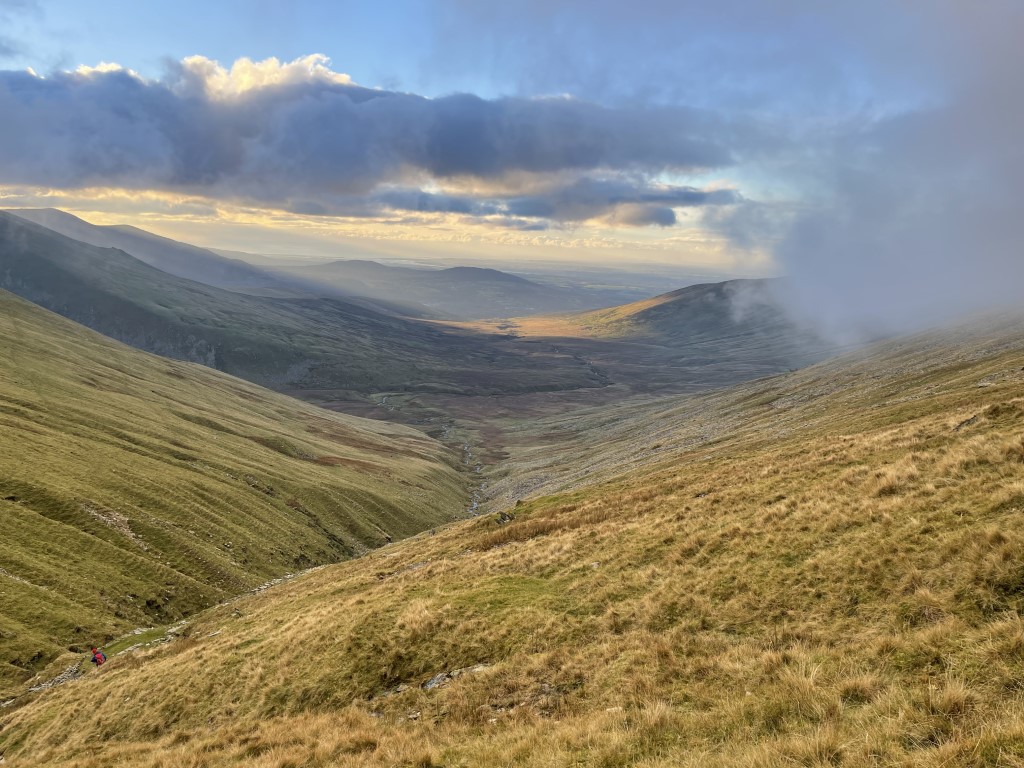
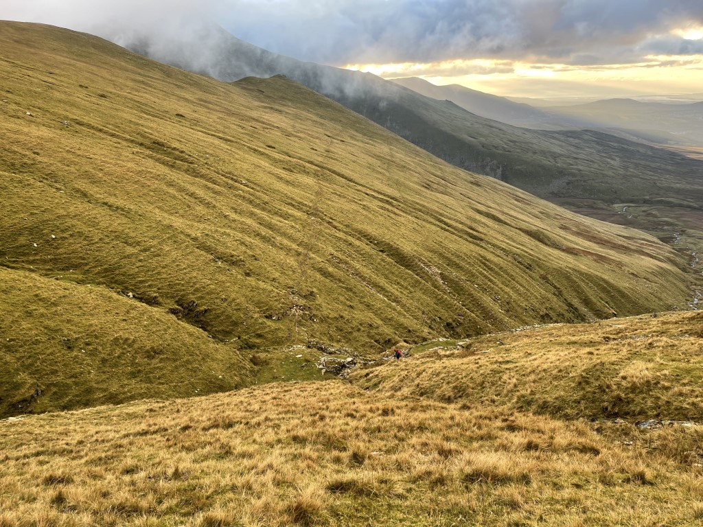
Setting the course went well. Visibility was poor on the tops, but the wind was light, and when the sun broke through it was relatively warm.
We didn’t pre-print maps this time, and just gave a list of grid references. Given the number of different mapping formats in use, including Gerry’s 1:12,500 it was the right call. Transferring co-ordinates and planning kept you all the quietest I’ve seen you for over an hour. And with very few questions, except for the classic:
Maggie: What’s the terrain like?
Gary: There’s no train. We told you: It’s a bus.
On the day…
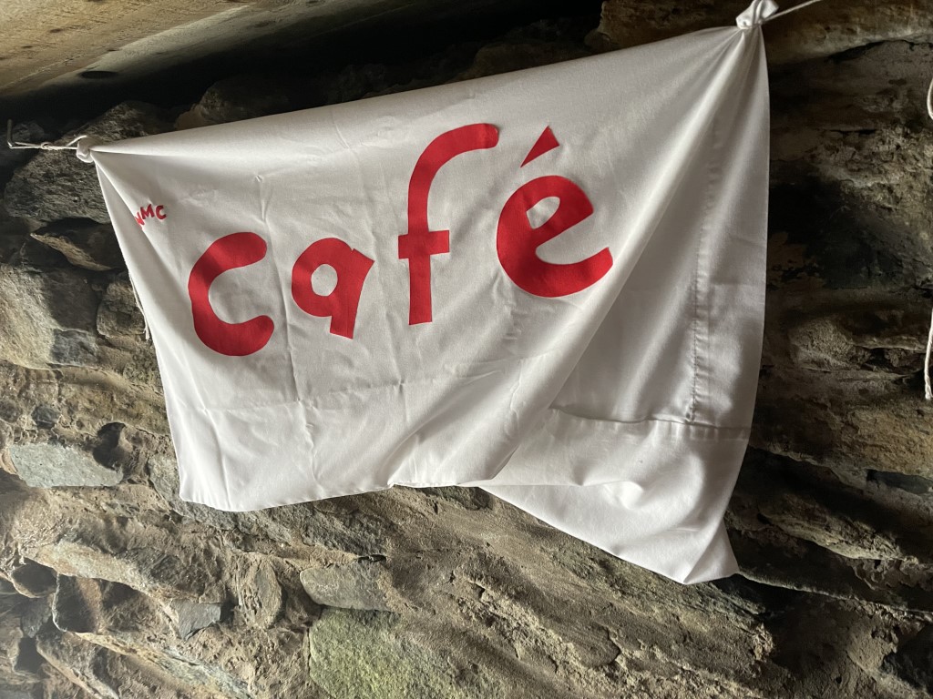
After ushering everyone out of the accommodation, Gary and I drove to Bethesda, and slogged our way up Foel Grach. Freezing level was 750m and the wind biting, so we knew it was going to be cold. We got to the Shelter around noon, put on every item of clothing we had, set up the stove, and got on with the important business of putting up the Café sign.
First to arrive was a German chap called Markus. Then one of the park wardens dropped in to check on the condition of the hut. We learnt it was refurbished in the 90s when Snowdonia Park took ownership of it, and they inspect it regularly.
After they left, 2 guys from near Chester came in – Jaz and Baz. They’d come over Pen Llithig y Wrach, spotted CP2 on the Bwlch, and remembered the code. They had the one from Shelter, so at 12:30 they were the leaders! Then came a Scottish couple. The bloke kindly opened the window shutter, which blew out all our tealights and we couldn’t be bothered relighting them. They had a 1:45 “go down” time.
Phone signal was intermittent, but we were able to get some idea where everyone was. We knew of Dan’s catastrophe; that Andy and Pete had made it to the Lake, and that Alan & Claire had just left Llewellyn – a mile away along a wide path, so would surely arrive soon. It also allowed us to give Anne the important instruction to put the birds in the oven.
Pete turned up followed shortly by Andy. It was wonderful to see them, and that all Gary’s efforts had not been in vain. We served them a selection from the menu, including biscuits and flapjack. At 14:20, it was now an hour since Alan & Claire left Llewellyn. I know how easy it is to get lost on that summit in poor visibility, but I knew Alan had spent enough time up there in bad conditions to not make that mistake. So, where the hell were they? Luckily, they turned up a few minutes later.
At 2.30, we had to make the decision to leave. This is when the bulk of the party arrived – talk about timing. We’d just binned the water, so weren’t able to offer you a hot drink, and in any event needed to get down. 5 minutes later and the Shelter would have been empty… apart from a small group turning up to spend a night in the Shelter. I am sure we had a better evening than they did.
With the weather forecast to get worse on the Sunday, I was keen to collect in the checkpoints. In the limited daylight remaining, Pete and Andy agreed to collect CP5 & 6, whilst Gary guided everyone else down. I set off to collect CP1-3.
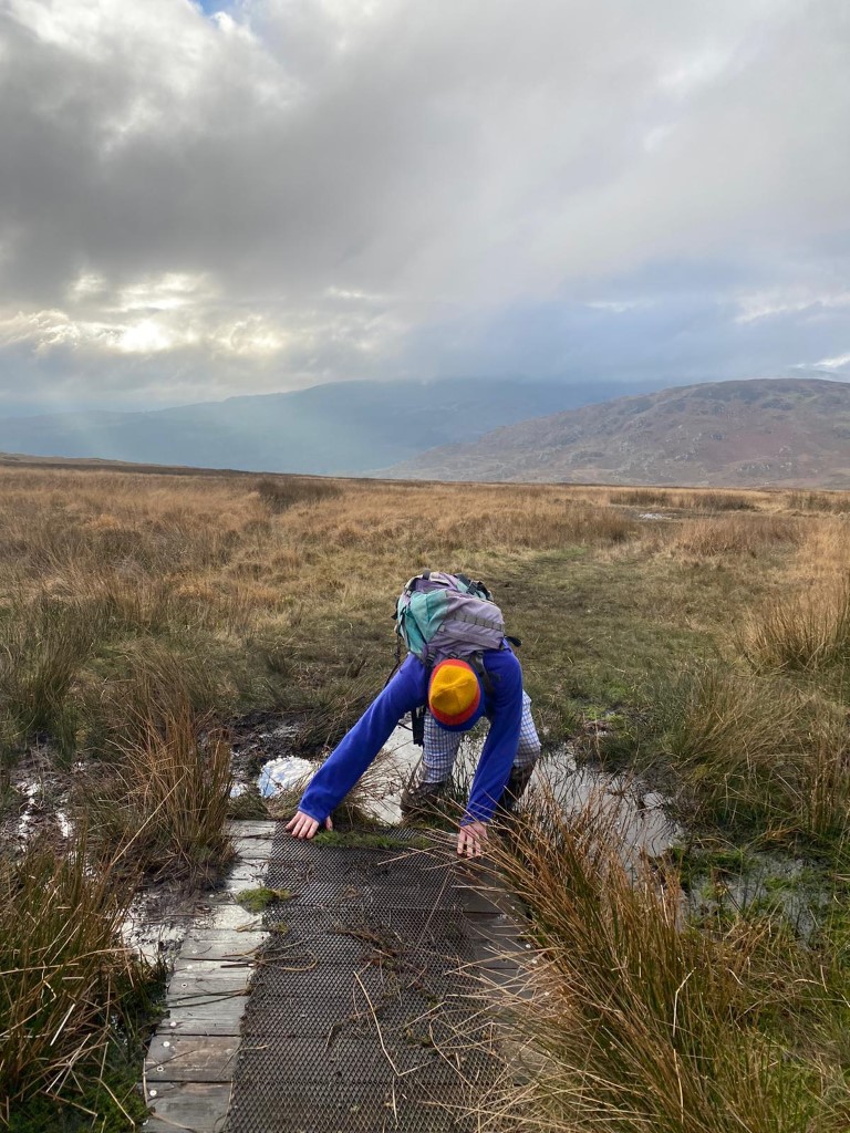
I made a couple of navigational errors due to visibility but made it to the CP1 footbridge before I needed a torch. Running the boggy path, I was expecting to repeat Dan’s feat, but luckily didn’t and reached the bunkhouse shortly after 5pm.
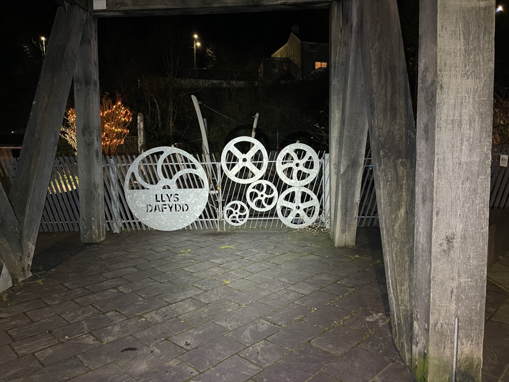
Gary got everyone else all down safely, taxiing the weariest direct to the bunkhouse. Those still going strong made it to the intended final destination pub (eventually), which gave you the chance to spot the final picture. And to learn some Welsh.
All bar 3 people reached the end of the route, so whilst a test, it wasn’t beyond your abilities, and you passed with flying colours. Andy & Pete got all the checkpoints, and I don’t think they found it overly easy in the conditions. On balance I think it worked out, but always interested in your comments to make it better next time.
I am sure you all have your own experiences of the day to recollect, and if you’d like to put them into writing, we can add them to this report.
Thank you to you all for getting into the spirit of the trip. Especially thanks to Gary and his family, who all put so much effort and attention to detail into this trip than I was expecting.
Happy Christmas. Mark.

